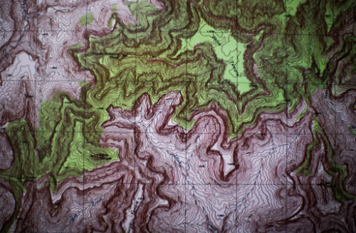
Applied Geographic Information Systems (GIS) in Natural Resources
Undergraduate Certificate
Allendale • Face to face • 12-13 Credits

Undergraduate Certificate
Allendale • Face to face • 12-13 Credits
The geographic information systems (GIS) in natural resources certificate program prepares students to apply GIS skills to analyze features and patterns of natural resources based on location and spatial relationships.
Grand Valley's Applied Geographic Information Systems (GIS) in Natural Resources Undergraduate Certificate prepares students to apply GIS skills to analyze features and patterns of natural resources based on location and spatial relationships. The certificate can be completed face-to-face at Grand Valley's Allendale Campus and requires 12-13 credits.
The coursework includes core courses in natural resource measurements and mapping, GIS applications in natural resources, and applied spatial analysis of natural resources. Students also choose one elective from options such as coding in Python, GIS applications in geology, introduction to remote sensing, advanced GIS, or statistical computing and graphics with R. This diverse range of courses ensures a comprehensive exploration of GIS applications in natural resources.
Studying Applied GIS in Natural Resources at Grand Valley offers:
For new students, visit the Admissions website for undergraduate requirements. Upon acceptance and for current students:
gvsu.edu/biology
3300a
Kindschi Hall of Science
(616) 331-2470
Study the composition, structure, and other physical aspects of the Earth. May use geological, physics, and mathematics knowledge in exploration for oil, gas, minerals, or underground water; or in waste disposal, land reclamation, or other environmental problems. May study the Earth's internal composition, atmospheres, and oceans, and its magnetic, electrical, and gravitational forces. Includes mineralogists, paleontologists, stratigraphers, geodesists, and seismologists.
Top skills| Annual Earnings | Percentile |
|---|---|
| $ 51,209.73 | 10% |
| $ 63,055.58 | 25% |
| $ 82,367.71 | 50% |
| $106,482.55 | 75% |
| $146,280.86 | 90% |
Study the nature and use of areas of the Earth's surface, relating and interpreting interactions of physical and cultural phenomena. Conduct research on physical aspects of a region, including land forms, climates, soils, plants, and animals, and conduct research on the spatial implications of human activities within a given area, including social characteristics, economic activities, and political organization, as well as researching interdependence between regions at scales ranging from local to global.
Top skills| Annual Earnings | Percentile |
|---|---|
| $ 60,878.88 | 10% |
| $ 74,299.06 | 25% |
| $ 95,829.90 | 50% |
| $117,449.20 | 75% |
| $137,494.68 | 90% |
Assist scientists or related professionals in building, maintaining, modifying, or using geographic information systems (GIS) databases. May also perform some custom application development or provide user support.
Top skills| Annual Earnings | Percentile |
|---|---|
| $ 48,015.22 | 10% |
| $ 70,046.42 | 25% |
| $ 98,672.56 | 50% |
| $129,085.11 | 75% |
| $156,611.63 | 90% |
Teach courses in geography. Includes both teachers primarily engaged in teaching and those who do a combination of teaching and research.
Top skills| Annual Earnings | Percentile |
|---|---|
| $ 46,404.13 | 10% |
| $ 60,064.05 | 25% |
| $ 85,728.30 | 50% |
| $122,847.70 | 75% |
| $165,907.49 | 90% |
Grand Valley State University offers a wide variety of merit-based
scholarships. For information on all of the scholarships that are
available to students, please visit Scholarships at GVSU.
Grand Valley offers myScholarships
(a scholarship matching tool) to help admitted students match
with GVSU scholarships, as well as external scholarship opportunities.
myScholarships will prompt you to answer questions to help match you
to scholarships for which you might qualify.
West Michigan provides a great environment for many areas of study including aquatic biology and ecology, conservation biology, restoration ecology, and environmental sustainability.
Getting involved and staying engaged with our vibrant campus community help you make the most of your Grand Valley experience. Attending student life events, joining a student organization, or participating in campus recreation opportunities are all fantastic ways to maximize your college years: