INtegrated Valuation of Ecosystem Service Tool (INVEST)
What is the economic value of these West Michigan land uses?
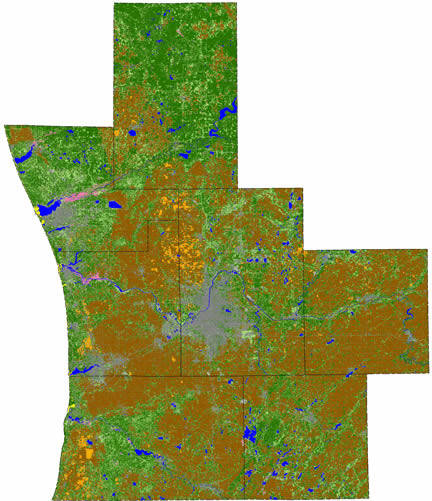
Land Use of 7-County West Michigan Region
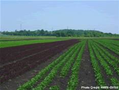
Cropland (Brown)
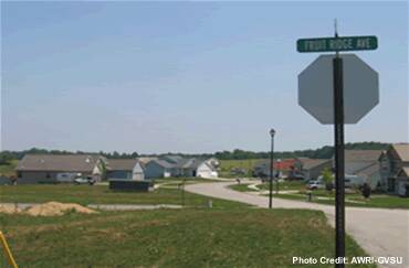
Developed Areas (Dark Gray)
Forest Lands (Dark Green)
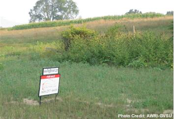
Grasses, Shrubs and Prairie Lands (Green)
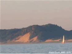
Great Lakes Sand Dunes (Yellow)
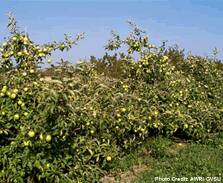
Orchards and Specialty Crops (Orange)
Other Bare Lands (Light Gray)
Water (Blue)
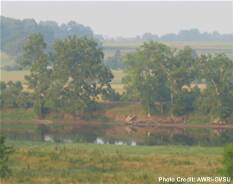
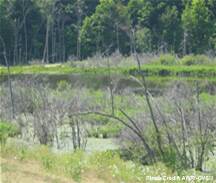
Wetlands (Pink)
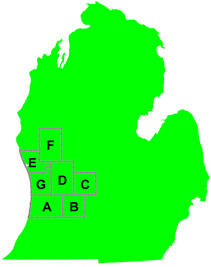
7-County West Michigan Region
A - Allegan County
B - Barry County
C - Ionia County
D - Kent County
E - Muskegon County
F - Newaygo County
G - Ottawa County
West Michigan is undergoing rapid and extensive land use change. Residential and commercial development is replacing our shorelines, farm fields, grasslands, and forests. This loss of green infrastructure will result in the loss of benefits that various ecosystems provide to the human residents of the region.
Many of these benefits - or ecosystem services - do not pass through commercial markets. As a result, they are not assigned a monetary value, and resource management and land use decisions are currently being made with incomplete information. In order for our local leaders to make the best choices for our region, they need to be provided with information on the value of human activities, as well as the value of ecosystem services that could be compromised by these management decisions.
In an effort to begin to address this problem, in 2006-2007 researchers from the Annis Water Resources Institute at Grand Valley State University, in cooperation with the West Michigan Strategic Alliance, conducted an economic valuation of ecosystem services associated with green infrastructure in West Michigan. This website provides preliminary monetary value estimates for a select group of ecosystem services and their associated land uses in seven counties in West Michigan.
Funding for this project was provided by People and Land (www.peopleandland.org) and the W.K. Kellogg Foundation.