


Lesson 2- Managing Excess Sediment
About
The second video and lesson in the Groundswell Communities for Clean Water series discusses sediment pollution and its impacts on water quality.
More About This Resource
Students explore the effects of excess sediment in streams and rivers, create a physical stream model, note how sediment moves, and research the sediment patterns in the Lower Grand River Watershed.
Students answer these essential questions in the context of the Lower Grand River Watershed:
- What is sediment?
- What are the sources and effects of excess sediment?
- What are some methods of monitoring excess sediment and its effects?
- How can the sediment load in a stream or river be reduced?
As you explore this resource, you will find a lesson designed for use with grades 7-12, Managing Excess Sediment.
Groundswell partnered with WGVU and the GVSU Annis Water Resources Institute to create educational videos and lesson plans about nonpoint source pollution (NPS). NPS pollution is one of the biggest threats to healthy lakes, streams, and rivers.

Managing Excess Sediment
Designed as an introduction to non-point source sediment pollution, this video discusses the management of excess sediment in a watershed, particularly how excess sediment impacts the Lower Grand River Watershed in Michigan.
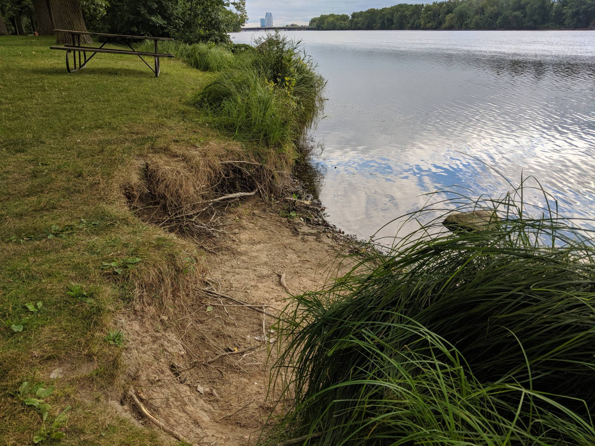
Lesson 2 Explore: Outdoor runoff and erosion investigation
Explore: Signs of Runoff and Erosion
Engage students with an outdoor investigation and the creation of a concept map as students actively investigate the effect of excess sediment in streams and rivers.
Download Lesson Two Explore: Outdoor Runoff and Erosion Investigation
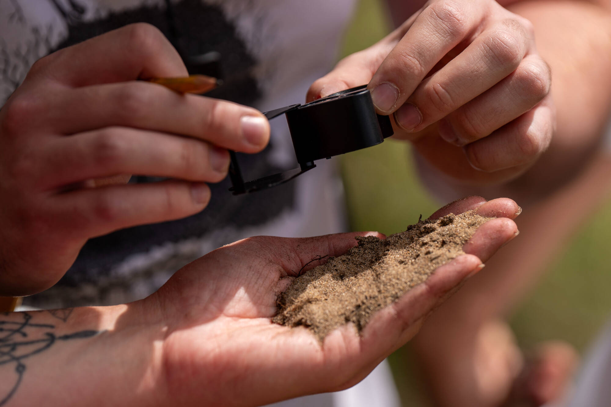
Lesson 2 Explain: Soil investigation
Explain: Soil Investigation
Students observe the characteristics of sediment materials, including gravel, sand, silt, and clay, and create a sediment jar to visualize their learning.
Download Lesson Two Explain: Soil Investigation
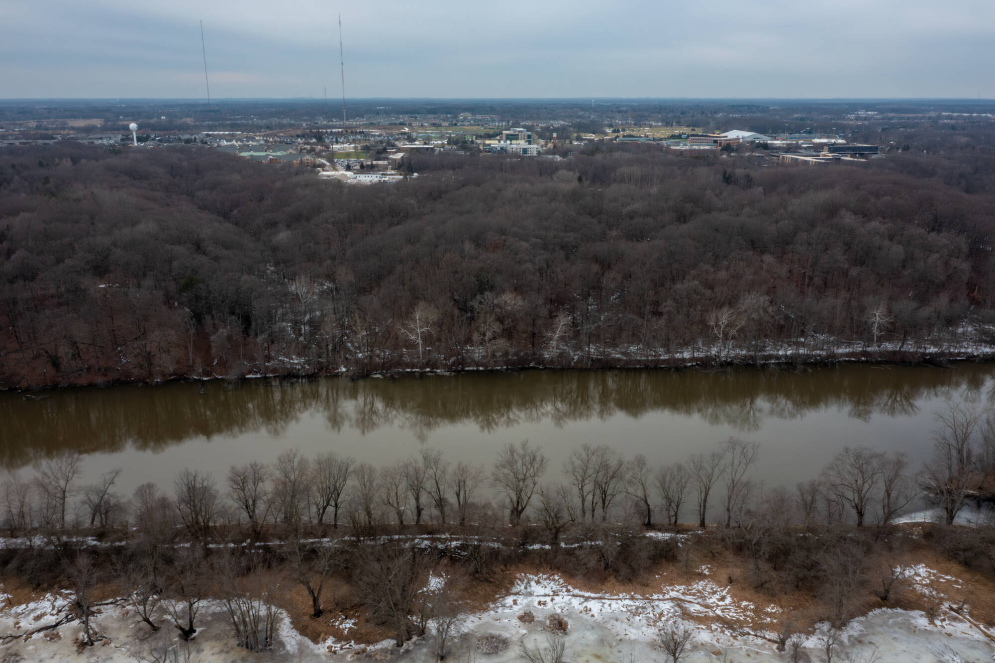
Lesson 2 Elaborate: Streams and river patterns
Elaborate: Managing Excess Sediment
Facilitate inquiry as students build a model of sources and movement of sediment to better understand how sediment gets into a stream or river and how it moves.
Lesson 2: Managing Excess Sediment
Full Lesson: Watersheds and Nonpoint Source Pollution Basics
Explore and download the full content of Lesson Plan 2: Managing Excess Sediment, which focuses on excess sediment as a major type of nonpoint source pollution affecting the Lower Grand River Watershed. This lesson encourages students to observe, model, research, and explore how to reduce excess sediment loads. Two additional appendices supplement this lesson: Appendix A, Lower Grand River Watershed Maps and Appendix B, Stream and River Monitoring Data Sheets.
Download Lesson Plan 2: Managing Excess Sediment
Download Appendix A: Lower Grand River Watershed Maps
Download Appendix B: Stream and River Monitoring Data Sheets