Our Research
[1702936703].jpg)
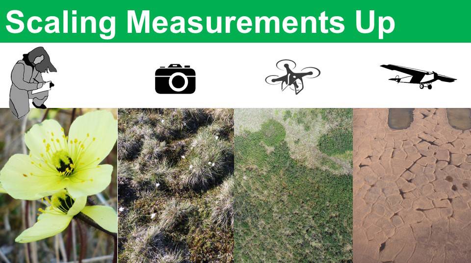
The goal of this project is to document and understand arctic terrestrial ecosystem change.
The project is a collaboration between Grand Valley State University (GVSU), Florida International University (FIU), University of Texas at El Paso (UTEP), and the University of Alaska at Anchorage (UAA).
The primary research sites at Toolik, Atqasuk and Utqiaġvik where originally established as part of the International Tundra Experiment in the mid 1990s; as such each site has an embedded warming experiment that uses open-top chambers to forecast future changes due to regional warming. In 2010, the researchers expanded the spatial scale of our observations to capture changes occurring across the landscape.
The main ways we have expanded coverage is to include measurements across a 1 km square grid of plots, implementing a mobile instrumented sensor platform (MISP) to capture fine-scale changes at an intermediate level, and using drones to capture data at a further level before scaling to satellite imagery.
[1702942103].jpg)
Grand Valley State University
The GVSU team is focused on understanding tundra vegetation change.
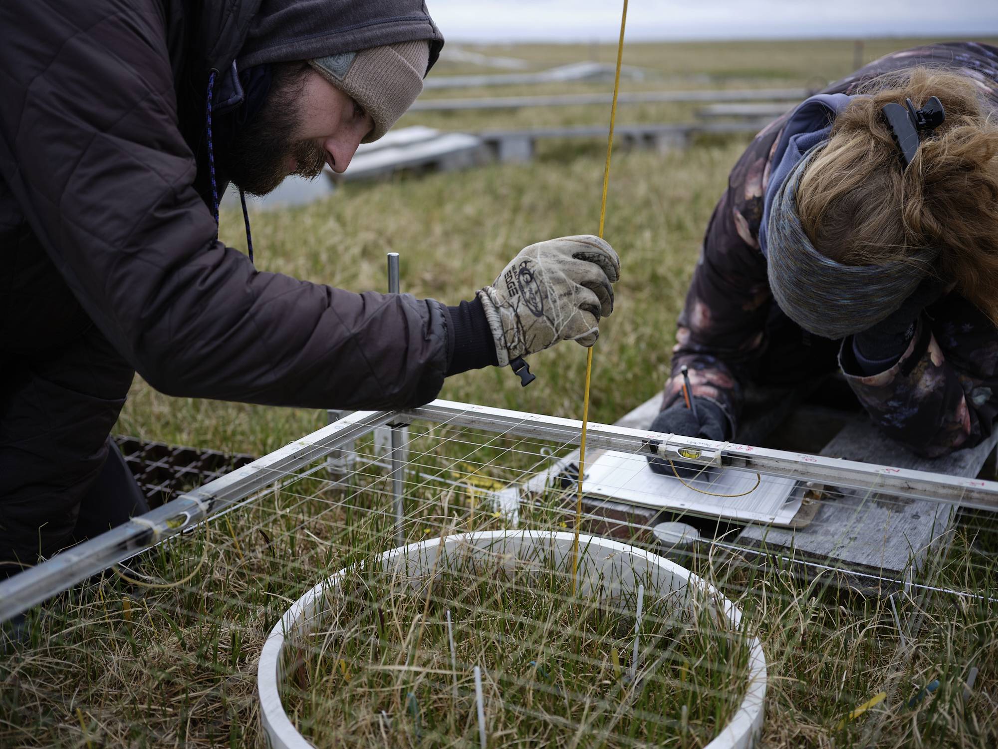
The GVSU component of the project takes leadership of manual measurements of phenology, growth, and community composition at the plot level. Due to safety and logistical reasons it is necessary to have no fewer than two people at a location. All the projects work together. Therefore, the GVSU crew collects nearly all the field measurements at Atqasuk with training from UTEP and FIU and runs the MISP at Utqiaġvik.
Measurements Include:
- Phenology (timing of life cycles)
- Plant Community Change
- Ground Cover Change
- Flower Number
- Herbivory
- Plant Height
- Thaw Depth (active layer thickness)
[1703003303].jpg)
Slide Show of
GVSU Work
Phenology
Phenology is the study of life stages of an organism. ITEX was founded to monitor how the timing of tundra plant life cycles shift due to warming.
Growth Measures
[1751465063].jpg)
Tracking plant growth over a season and through the years also us to see plants are responding to warming temperatures.
Click the picture for more information!
Flower Counts
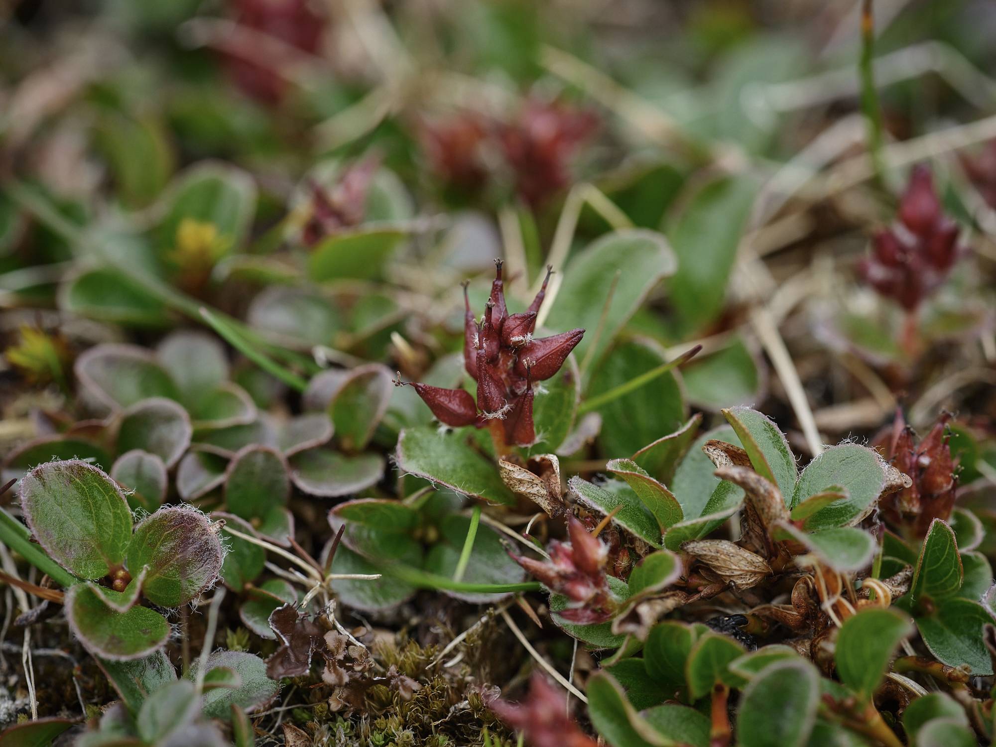
Counting flowers tells us about the reproductive effort going into the new generation of plants on the tundra.
Click the picture for more information!
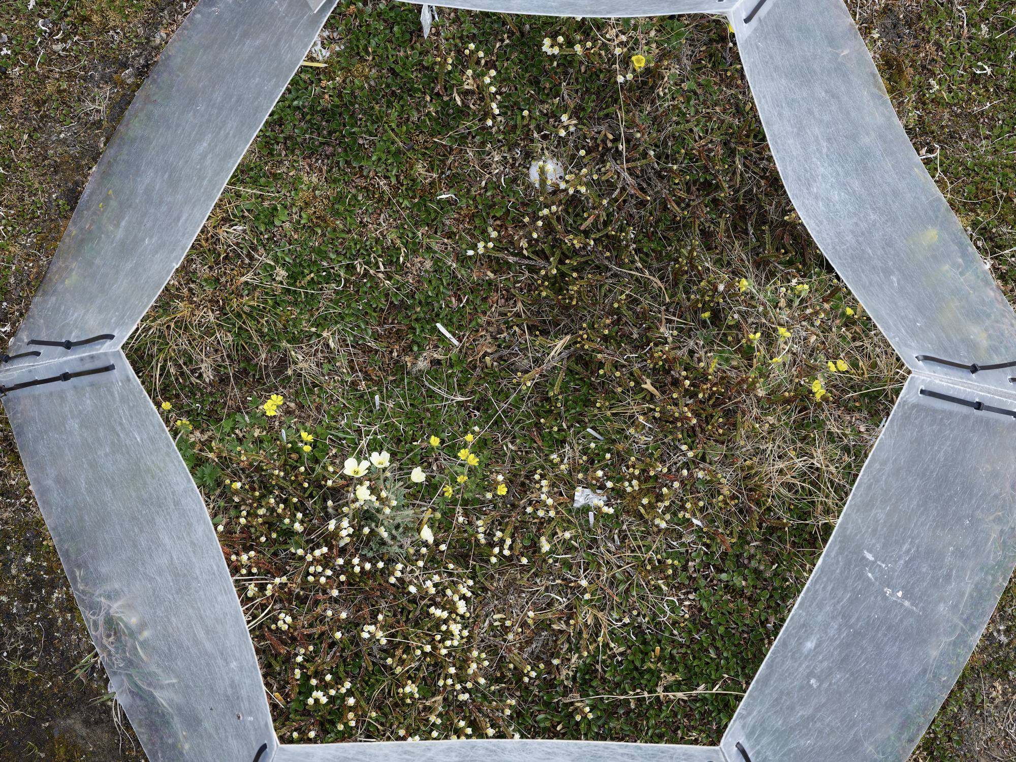
Point Frame
The point frame is a method to characterize cover and composition of a plot. GVSU pointframes plots each year to see how these metrics are changing over time and in response to warming temperatures.
Click the picture for more information!
Florida International University
The FIU team is focused on understanding tundra ecophysiology.
The FIU team is responsible for conducting the daily MISP runs at Toolik and Imnavait and works closely with the GVSU team that operates the daily MISP runs at Utqiaġvik and Atqasuk.
FIU personnel manage all the data from the four MISP systems. FIU personnel also collect point framing, phenology, plot reflectance, and plant functional trait measurements at Toolik and Imnavait Creek and the peak season flux measurements at Utqiaġvik, Atqasuk, and Imnavait.
Measurements Include:
- MISP (Multi-spectral, Hyper-spectral, Thermal Imagery, NDVI, Albedo)
- Phenology
- Plant Functional Traits
- Pointframe (cover)
- Plot Reflectance
- Carbon Flux
[1703008702].jpg)
Slide Show of
FIU Work
The MISP
The MISP system is designed to measure a large array of surface properties with minimal effort. The platform is suspended between two towers and is run daily to capture dynamics associated with different vegetative cover, soil, and underlying permafrost. These measurements capture the fine-scale changes in vegetation over the growing season that are challenging to measure manually. The observations also provide a bridge between manual measurements and aerial imagery that can be scaled to the landscape level.
[1702942103].jpg)
University of Texas--El Paso
The UTEP team is focused on understanding the landscape dynamics of tundra ecosystems.
The UTEP component of the project takes leadership of the Alaskan and ITEX phenocam network, repeat UAS flights over the Alaskan sites, repeat terrestrial LiDAR surveys, and plot to satellite scaling activities. The UTEP team will also actively participate in collaborative activities, ensure active participation in related network activities (e.g. ITEX phenocam network, the High Latitude Drone Ecology Network ~ HiLDEN), and provide training to GVSU and FIU personnel who will care-take some field-based measurements that will result in substantial travel savings.
Measurements Include:
- Ground to Satellite Upscaling
- Drone Imagery
- Spectral Data
- Landscape Mapping
- LiDAR
- Water Table Change
- Thaw Depth
- Phenocams
- Soil Temperature/Moisture
Slide Show of
UTEP Work
Drones
The UTEP group focuses on phenology and other ecosystem changes at the landscape scale. One of the methods to view these changes involves the use of UAV (unmanned aerial vehicles), better known as drones.
UTEP employs two types of drones for this work: a quadcopter (4 propellers) style drone for closer measures around the main ITEX plots, and a fixed-wing drone outfitted with multispectral, hyperspectral, or RGB cameras to gather data on the entire 1km square grid.
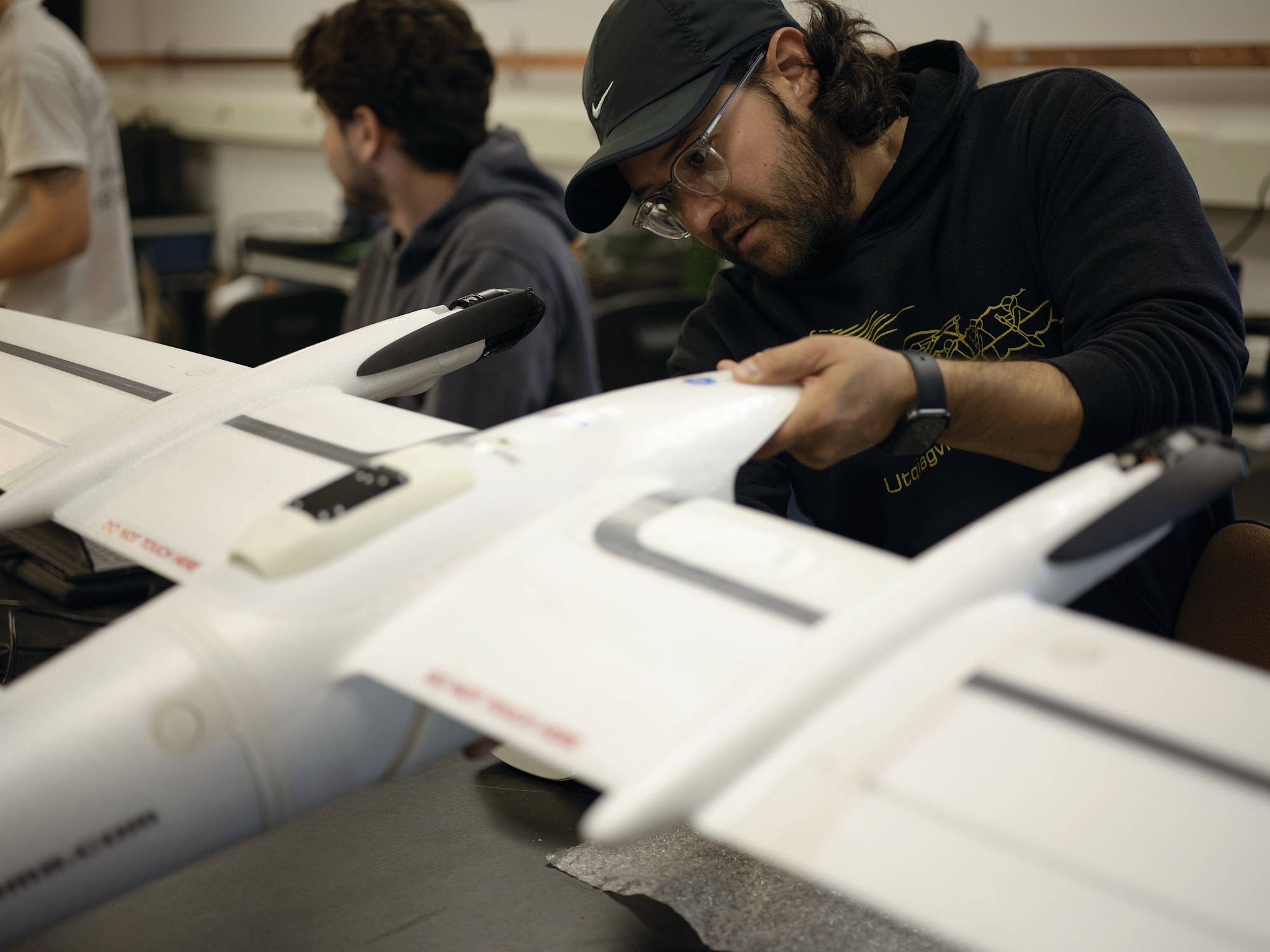
Dr. Sergio Vargas putting together the fixed wing drone
LiDAR
LiDAR, short for Light Detection and Ranging, is a method used by UTEP researchers to measure extremely small scale changes of the landscape surface. By making repeat scans of the tundra at specified transects, they can track how the microtopography of the surface of the land is changing over time. This has implications for vegetation change, construction activities, and land use over time as well.
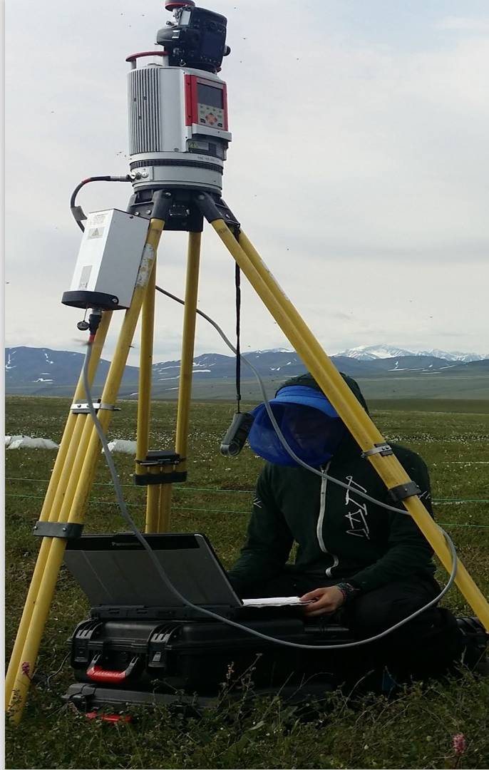
Dr. Tabby Fuson working with LiDAR Equipment
Photo: UTEP-SEL
University of Alaska--Anchorage
The UAA team is primarily focused on understanding the annual carbon balance of tundra ecosystems.
The UAA team takes leadership of our ecosystem process studies and coupling them to our measurements of phenology, growth, and ecophysiology under a suite of New Arctic climate scenarios at Toolik Lake. In addition UAA will lead the soil C synthesis including obtaining and arranging for a common set of soil analyses.
Measurements include
- Carbon emission
- Soil Carbon
- NDVI
- Phenology
Slide Show of
UAA Work