Bear Lake Hydrologic Reconnection and Wetland Restoration
Bear Lake is a moderately to highly eutrophic lake that has high levels of total phosphorus (TP) and summer blooms of cyanobacteria (blue-green algae). Phosphorus source control is essential for the restoration of Bear Lake and removal of the Eutrophication and Undesirable Algae Beneficial Use Impairment (BUI) for the Muskegon Lake Area of Concern (AOC). Given the importance of Bear Creek as a major external source of TP loads to Bear Lake, controlling phosphorus from this tributary will provide a significant benefit for Bear Lake.
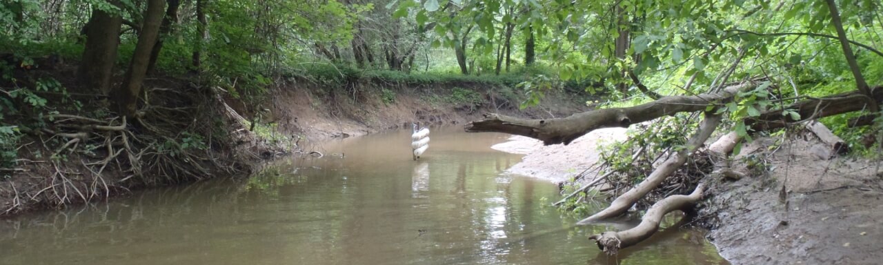
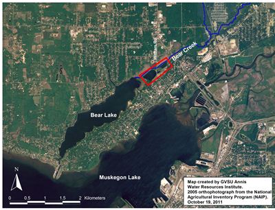
Abandoned muck farms used for celery production, but now converted into shallow ponds, are adjacent to Bear Creek just before it enters Bear Lake (see red outlined area in map on right). Given their location and past land use, these muck fields likely contain very high levels of phosphorus and are a plausible source of phosphorus to Bear Lake. Indeed, a recent study found that similarly converted celery fields located upstream of Mona Lake, another drowned river mouth system in Muskegon County, contributed a significant load of TP to Mona Lake via levee breaches.
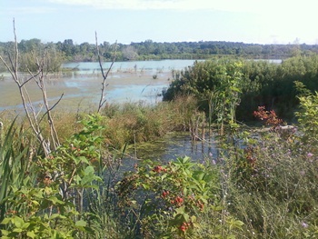
Restoration plans within the Muskegon Lake AOC include the hydrologic reconnection of these flooded fields with Bear Creek and improved wetland habitat. We are assisting with the restoration effort through 2 projects:
- Our first study characterized the sediment phosphorus characteristics of the muck fields and determined the degree to which the muck fields are contributing phosphorus to the water column. Thus, potential negative impacts to downstream habitats (i.e., Bear Lake) upon reconnection were evaluated and possible mitigation strategies identified. Read the 2013 final report.
- The second study involves pre-restoration monitoring of phosphorus concentrations, chlorophyll a, and general water quality in the Bear Lake muck fields and Bear Creek. The monitoring results will be used to assist with documentation for the future removal of the Eutrophication BUI. Read the 2014 final report.
- Research conducted by a former graduate student, James Smit, investigated the effects of reconnecting the two muck fields to Bear Creek. He found that reconnection could cause significant phosphorus release from the muck fields' sediments, which could negatively impact water quality in Bear Lake. Thus, any restoration plan for this area should address the high phosphorus concentrations in the muck field sediment prior to hydrologic reconnection.
- A two-part monitoring study in 2016-2017 was conducted in conjunction restoration efforts to drain, dredge, and hydrologically reconnect the two former muck fields to Bear Creek. Read the pre-restoration monitoring report and the post-restoration monitoring report.
- The restored wetland was studied in 2018-2019 for BUI assessment and monitoring, one year after the ponds were hydrologically reconnected to the watershed. Read the 2019 BUI monitoring report.
- The restored wetland was studied again in 2020-2021 for BUI assessment and monitoring, three years after the ponds were hydrologically reconnected to the watershed. Read the 2021 BUI monitoring report.
Maggie Oudsema collecting a sediment core for phosphorus characterization.
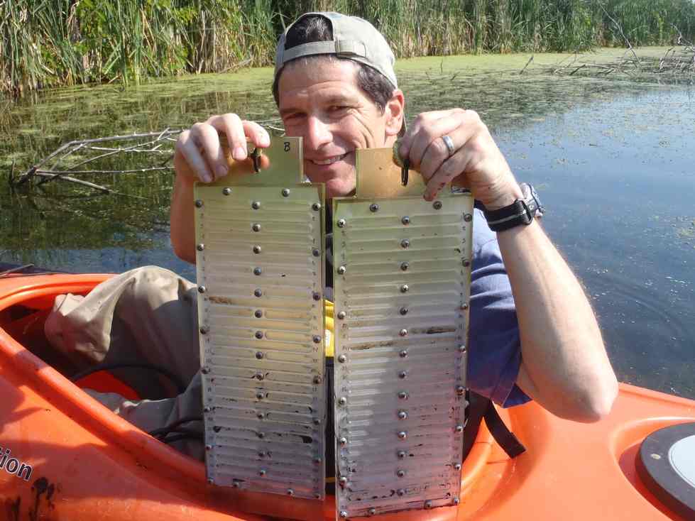
Al Steinman retrieving pore water samplers (i.e., peepers) after a 2-week incubation.
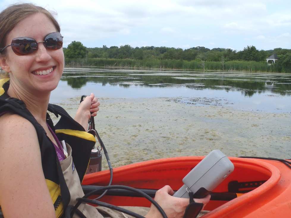
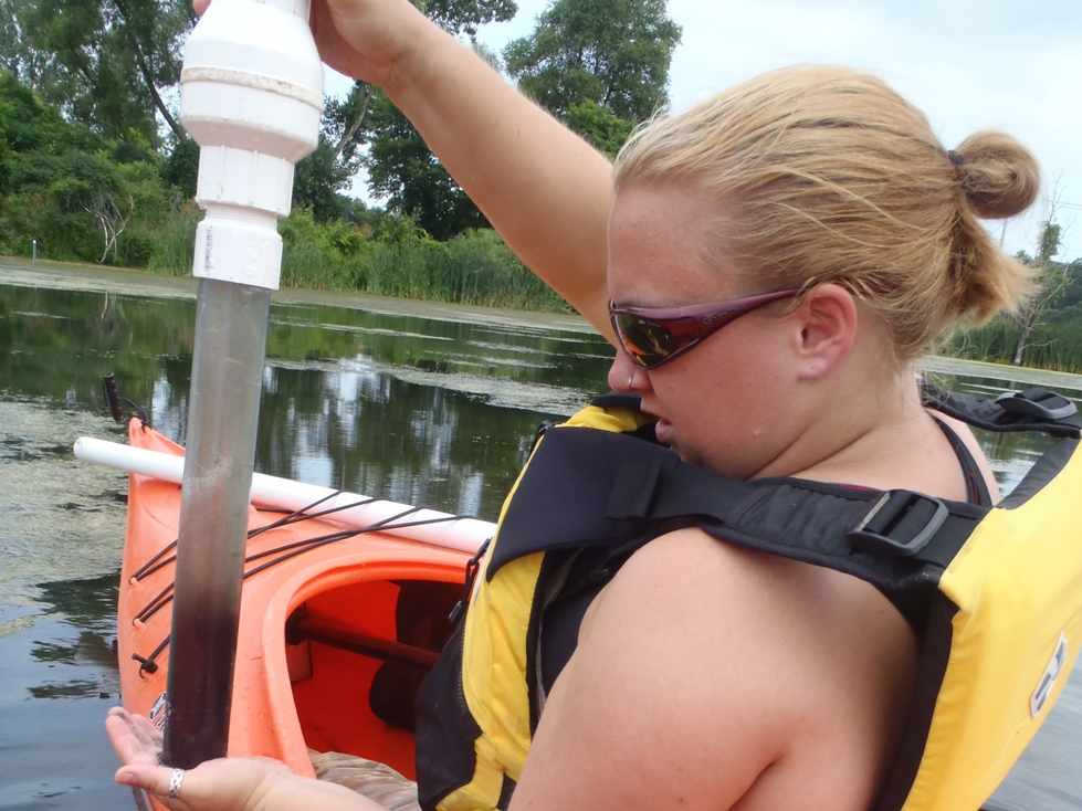
Mary Ogdahl measuring water quality with a YSI sonde.
Reports & Publications
Smit, James T. 2014. Wetland Sediment Nutrient Flux in Response to Proposed Hydrologic Reconnection and Climate Warming. Master's Thesis. Paper 733. https://scholarworks.gvsu.edu/theses/733
Steinman, A.D., and M.E. Ogdahl. 2013. Muskegon Lake AOC Habitat Restoration Design: Bear Lake Hydrologic Reconnection/Wetland Restoration. Final Project Report. National Oceanic and Atmospheric Administration.
Steinman, A.D., and M.E. Ogdahl. 2014. Muskegon Lake Area of Concern Stakeholder Involvement and BUI Removal Project: Bear Lake Wetland Restoration Area Monitoring. Final Project Report. Great Lakes Commission.
Funding for the first study (sediment characterization) was provided by the National Oceanic and Atmospheric Administration (NOAA).
Funding for the second study (pre-restoration monitoring) was provided by the Great Lakes Commission.
Project partner:
West Michigan Shoreline Regional Development Commission (WMSRDC)
Project contacts:
Dr. Alan Steinman, Project Manager: [email protected]
Mike Hassett, Lead Technician: [email protected]