AWRI Environmental Chem - Lower Grand


Total Suspended Solids, Stable Flow, and Wet Weather Event Monitoring for Tributaries of the Lower Grand River
Collaborators:
Cadmus Group
US Environmental Protection Agency Region V
Michigan Department of Environmental Quality
Annis Water Resources Institute
Project Sponsor: US Environmental Protection Agency Region V
Products:
Michigan Department of Environmental Quality TMDLs:
Bass River (MDEQ)
Sand Creek (MDEQ)
York Creek (MDEQ)
Strawberry Creek/Mill Creek (MDEQ)
Unnamed Tributary (MDEQ)
AWRI Technical Reports:
Bass River (AWRI)
Sand Creek (AWRI)
York Creek (AWRI)
Mill/Strawberry Creek (AWRI)
Unnamed Tributary (AWRI)
Project Description:
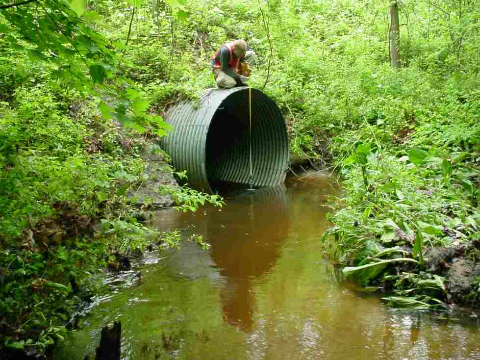
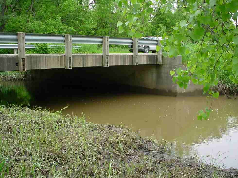
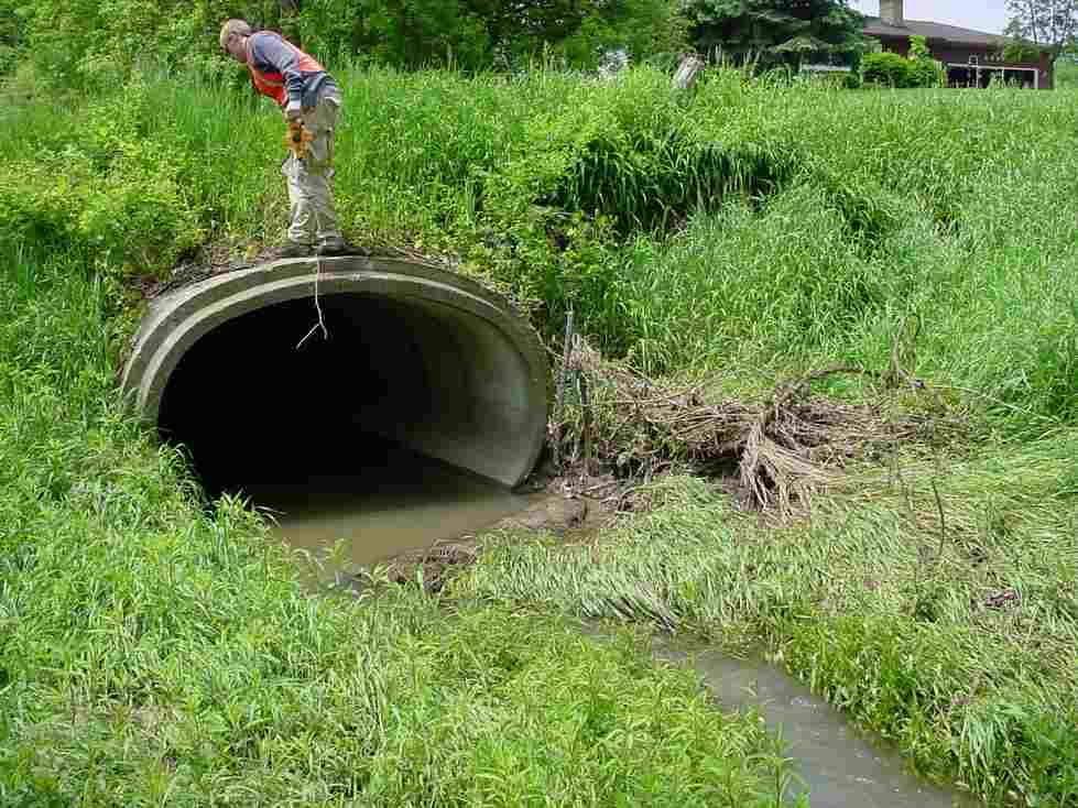
An investigation of streams in west Michigan was conducted to monitor the loading of Total Suspended Solids (TSS) and fluctuations in hydrology. The study sites were located in the lower Grand River watershed and included: Bass River, Sand Creek, Strawberry/Mill Creek, York Creek and an unnamed tributary near Leonard and East Beltline. Each of these watersheds is a tributary to the Grand River and is included on Michigan's 2002 303(d) list as requiring a Total Maximum Daily Load (TMDL) because they do not support the designated use for biota. The primary causes were related to excess TSS and extraordinarily flashy flow regimes due to agricultural runoff/washoff related events. The investigation examined the discharge and loading of TSS at 4 to 8 locations in each of the above streams under base flow (dry conditions) and during storm events. The data from this project was used to develop a Biota TMDL for each of the five water bodies studied.
