Muskegon River Watershed
The Muskegon River Watershed is located in north-central Michigan and is approximately 219 miles long from its start at Houghton and Higgins Lake down to its mouth at Muskegon Lake and, eventually, Lake Michigan. The Muskegon River Watershed drains more than 2,700 square miles of land area, second only to the Grand River Watershed in Michigan. We estimate as many as ninety-four tributaries find their way to the main branch of the Muskegon River. The Muskegon River is fed by wetlands, groundwater springs, lakes, agricultural drains, and receives both warm and cold waters. The cool and cold water tributaries help to sustain trout and other cool-cold water aquatic species in the Muskegon River. Land Use/land cover in the Muskegon River Watershed is almost an even mix of forest and agriculture.
The Annis Water Resources Institute has studied and helped to plan the management of the Muskegon River Watershed for more than 25 years. This includes the publication of the first Watershed Management Plan in 2002 and an update that was completed in 2010. Links to the 2002 Plan and its 2010 Update are included below.
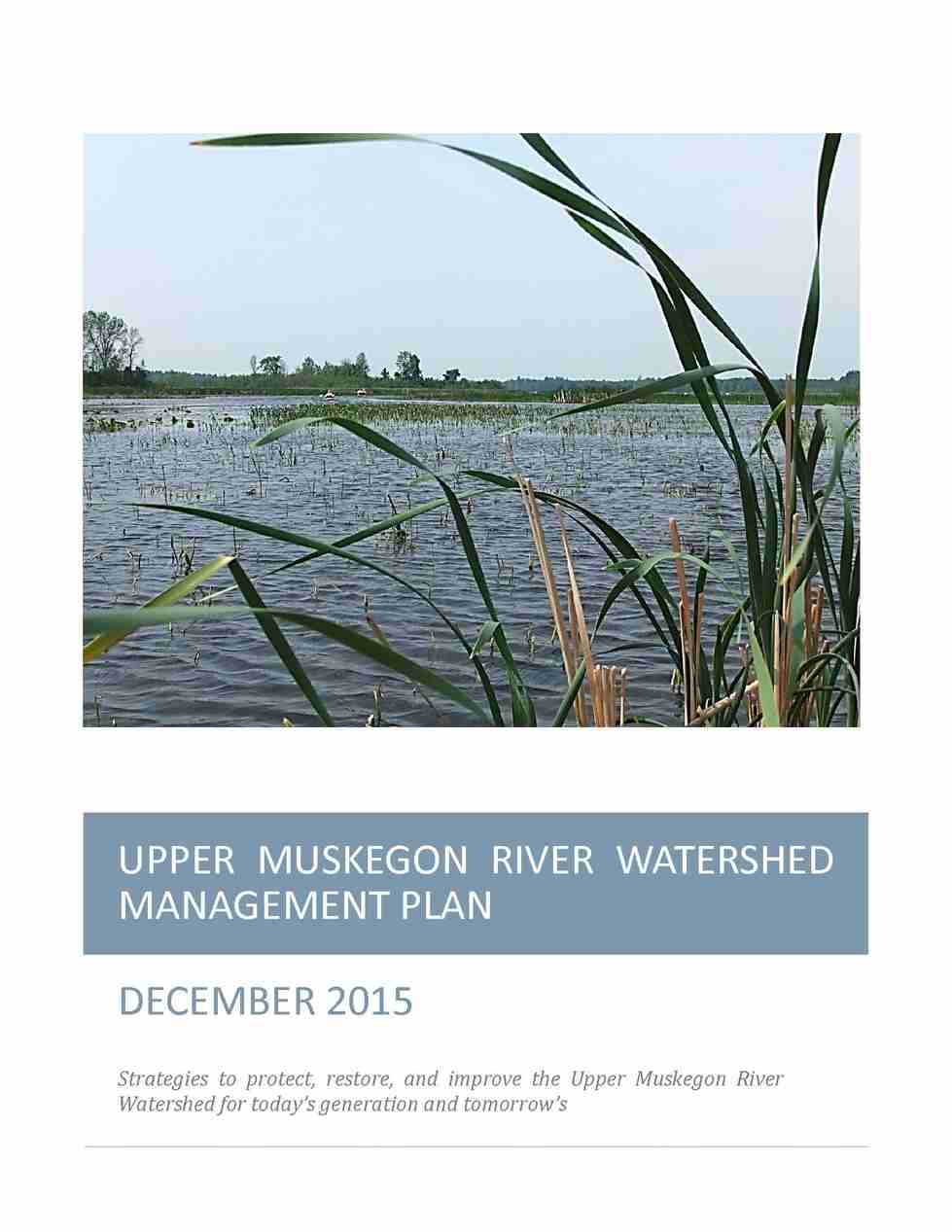
Today, AWRI is working on a detailed action plan for the Upper Muskegon River Watershed (UMRW) including the Higgins and Houghton Lakes area. If you would like to review a draft copy of the Upper Muskegon River Watershed Management Plan use the link below. If you are interested in learning more about the planning process click HERE.