Study Geography
The Geography and Sustainable Planning curriculum at GVSU offers students strong analytical and problem solving skills leading to exciting and rewarding careers in urban and regional planning, environment, regional and international development, sustainability planning, and geospatial technology (GIS and satellite remote sensing).
We offer the following programs:
- Geography major
- Geography major: Climate Change Mitigation, Adaptation, and Resiliency Planning
- Geography major: Geospatial Technology emphasis
- Geography major: Urban and Regional Planning emphasis
- Geography major: Environment and Global Development emphasis
We also offer minors and certificates in Sustainable Urban and Regional Planning, Geographic Information Science (GIS) and Technology and Environmental Remote Sensing.
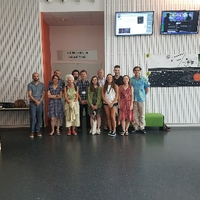
Study Abroad Trip in the Netherlands
Reimagining US-131 Community Idea Session
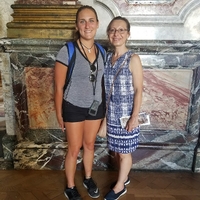
2023 Netherlands Study Abroad Trip


Events

Global Climate Change Week 2026
October 12, 2026 All Day
Global Climate Change Week 2026
October 13, 2026 All Day

CCESS2026 "Ways of Knowing in Climate Change Education"
October 14, 2026 All Day
Global Climate Change Week 2026
October 14, 2026 All Day


Geography and Sustainable Planning is housed within the College of Liberal Arts and Sciences. More information about the college.