Duck Creek and Duck Lake Sediment Investigation
Background
Duck Lake is a 271 acre drowned river mouth in Muskegon County (MI) with a relatively small watershed extending to 13,952 acres. Local stakeholders have reported that within approximately the last 20-30 years, they have noticed a heavy influx of sediment entering Duck Lake from its main tributary, Duck Creek. They suspected that the construction of a bridge overpass could be related. Sedimentation can bury areas that serve as habitat and refugia for fish and invertebrates, resulting in decreased habitat complexity that is less capable of supporting a diverse benthic community (Kovalenko et al. 2012). Excess sediment also may be linked to other environmental stressors such as low dissolved oxygen, high turbidity, high nutrient concentrations, and high E. coli counts (Wood and Armitage 1997, Francy et al. 2003, Steinman and Ogdahl 2015). These stressors can lead to a variety of problems for both the environment and human stakeholders, including harmful algae blooms from the increased nutrients, beach closures from high E. coli levels, and restricted navigation due to the shallowing of the lake. Since land use practices in the watershed influence sediment fate and transport, it is critical to assess not just the lake proper, but also its catchment.
[1521218270].jpg)
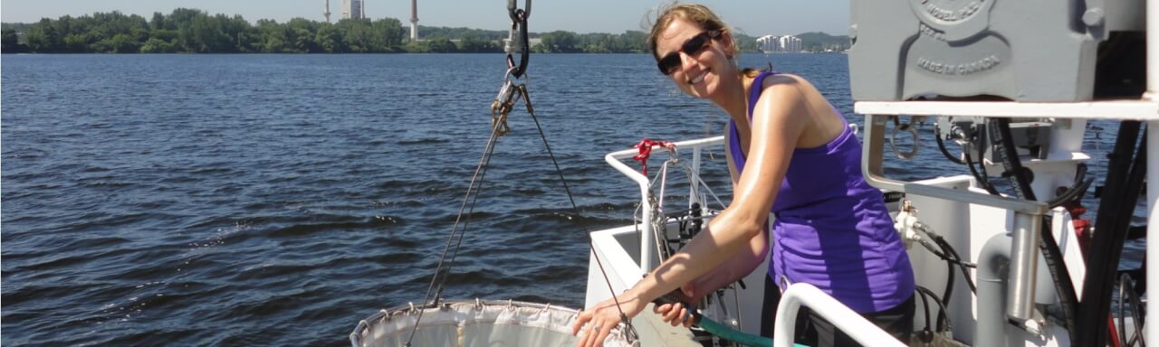
Stream transects were established and surveyed throughout the Duck Creek watershed.
Project Summary
This study was conducted as a preliminary investigation into sediment transport through the watershed. The goal was to identify the potential stream reaches that may be critical sources of sediment transport, as well as inform future research, restoration, and conservation initiatives within the watershed. With these goals in mind, we measured physical and chemical water quality parameters, including total phosphorus (TP), and quantified sediment movement in the water column and streambed to better understand the dynamics of stream discharge, sediment, and TP in the Duck Lake watershed.
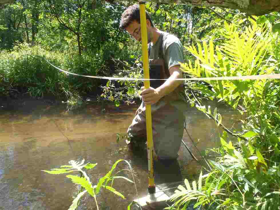
Sediment movement along the stream bed was one of several methods of measuring sediment movement through the watershed.
Based on this preliminary study, we have found:
- The upper Duck Creek tributary is a likely source of P and sediment loads, especially during storm flow. Hence, restoration efforts to implement water retention structures (created wetlands; green swales; rain gardens) in key areas of impervious pavement are recommended. These initiatives will have the added benefit of retaining phosphorus as well.
- Septic systems, both domestic and industrial, may be contributing phosphorus to the watershed through shallow subsurface flow paths. Hence, an educational campaign is recommended to inform citizens of the need to maintain septic systems on a regular basis.
- The Duck Lake marsh, located where Duck Creek enters Duck Lake, may be close to reaching its phosphorus retention capacity based on the high concentration of sediment TP compared to both the overall watershed and other local west Michigan waterbodies. Further study to determine if the marsh is a source or sink of P may be useful; alternatively, removing the sediment P may provide a more long-term solution, although until it is determined how much P leaves the marsh sediment, the cost-benefit ratio of this action cannot be estimated.
Finally, we found no clear evidence that the sediment in the vicinity of the bridge overpass, originally suspected to be a major source, is the major source of sediment being deposited in and around the mouth of Duck Creek. We recommend no action in the region of the bridge crossing at this time.
Funding for this project is provided by a Freshwater Future grant to the Duck Creek Watershed Assembly.
Project Partners
Duck Creek Watershed Assembly
West Michigan Environmental Action Council
References
Francy, D.S., A.M. Gifford, and R.A. Darner. 2003. Escherichia coli at Ohio bathing beaches--Distribution, sources, wastewater indicators, and predictive modeling. USGS Water-Resources Investigations Report No. 02-4285.
Kovalenko, K.E., Thomaz, S.M., & Warfe, D.M. 2012. Habitat complexity: approaches and future directions. Hydrobiologia, 685(1), 1-17.
Steinman, A.D. and M E. Ogdahl. 2015. TMDL reevaluation: reconciling phosphorus load reductions in a eutrophic lake. Lake and Reservoir Management 31: 115-126.
Wood, P.J. and P.D. Armitage. 1997. Biological effects of fine sediment in the lotic environment. Environmental Management 21: 203-217.
Contacts
Al Steinman, Project Manager: [email protected]
Mike Hassett, Technician: [email protected]
Maggie Oudsema, Technician: [email protected]