Student Summer Scholars
Social Science Lab student participates in S3.
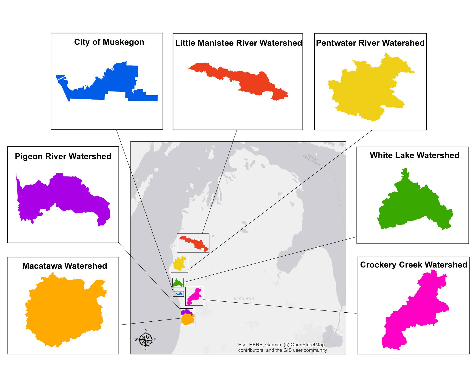
Michiganders are blessed with the rewards and responsibilities of stewarding the largest unfrozen freshwater system on the planet. In the Social Science Lab, we assist area watershed and conservation organizations in their efforts to assess people's knowledge about threats to water quality, as well as their use of property management practices that protect our water resources.
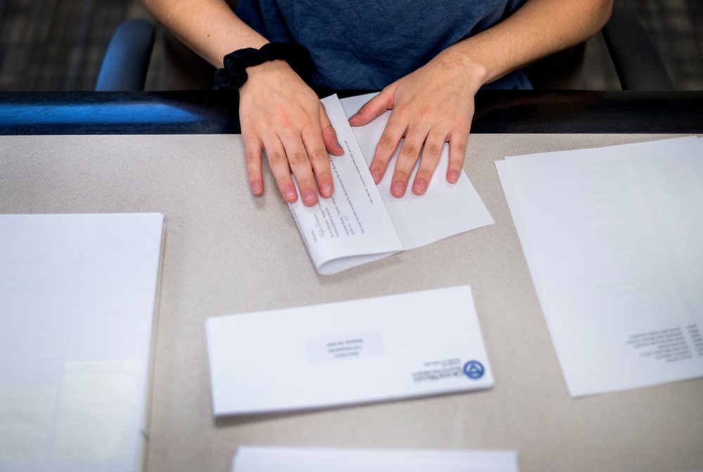
This work employs undergraduate research assistants, providing hands-on training in data management and applied statistics for GVSU students from a variety of fields. These students make invaluable contributions to our work through lending their creativity, expertise, and elbow grease.
You can read more about our work below. For questions or copies of reports, please contact Amanda Buday at [email protected] or (616) 331-3137.
Social Science Lab surveys, 2020-2023.
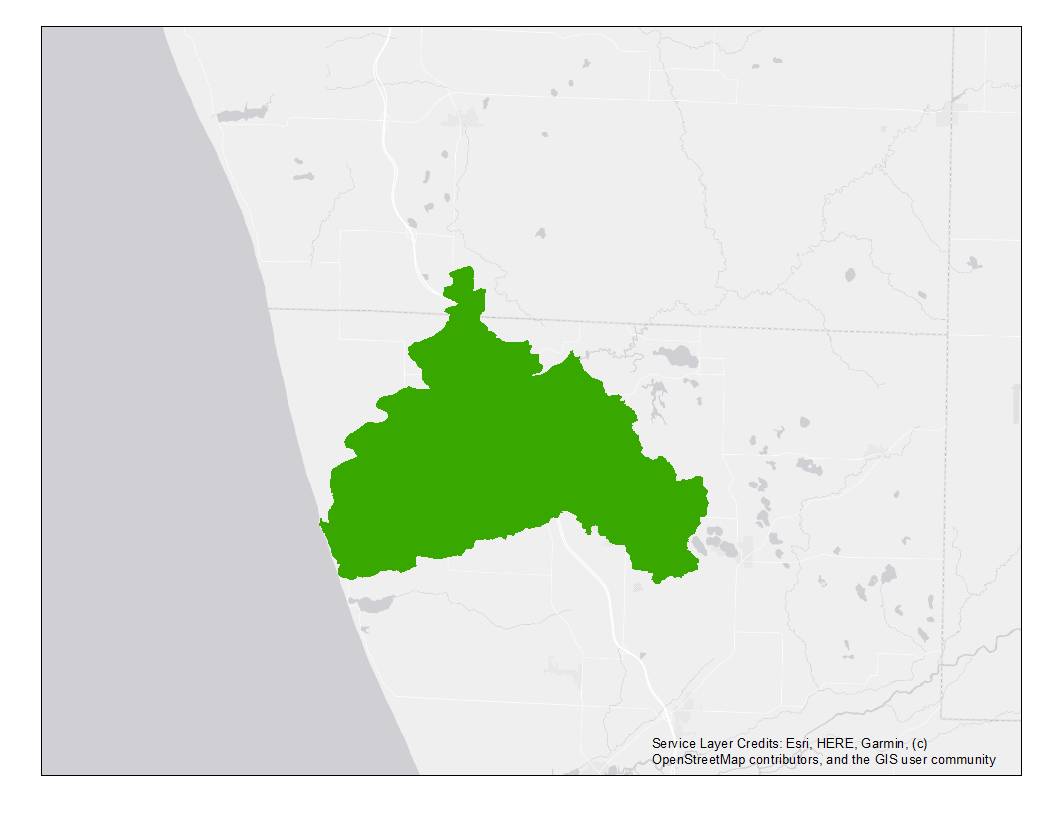
During Fall 2023, the Social Science Lab sought feedback from landowners in the Pentwater River watershed regarding local water quality management. The questionnaire covered several topics, including experiences with and concerns about local water quality, property management practices and challenges, and landowner opinions about local conservation priorities. Survey responses will direct improvement projects in the watershed, helping the Friends of the Pentwater River Watershed, the Oceana Conservation District, and the Mason-Lake Conservation District target their future efforts. Funding to conduct this assessment was provided by Fly Fishers International and the Oceana Community Foundation. Please read the full report using the link below.
[1699644653].jpg)
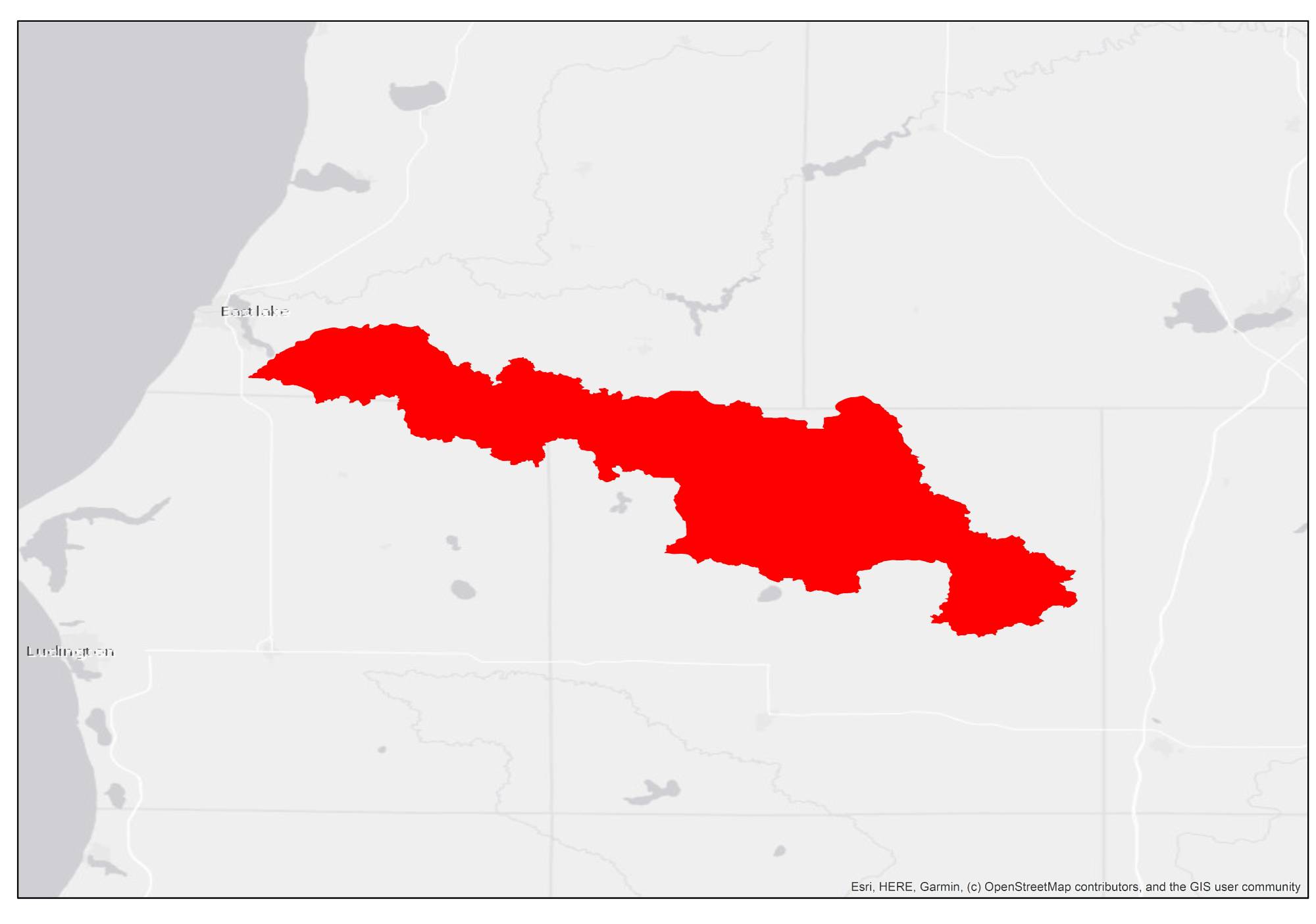
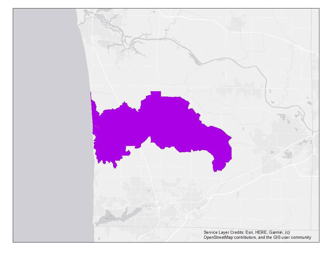
This survey asked property owners along the Little Manistee River and across the river's watershed about their opinions on a Michigan Natural Rivers Program designation for the Little River. The study was conducted for the Little Manistee Watershed Conservation Council and was completed from August to October 2023. We thank you for entrusting us with carrying landowner voices in this important matter. Please read the full report using the link below.
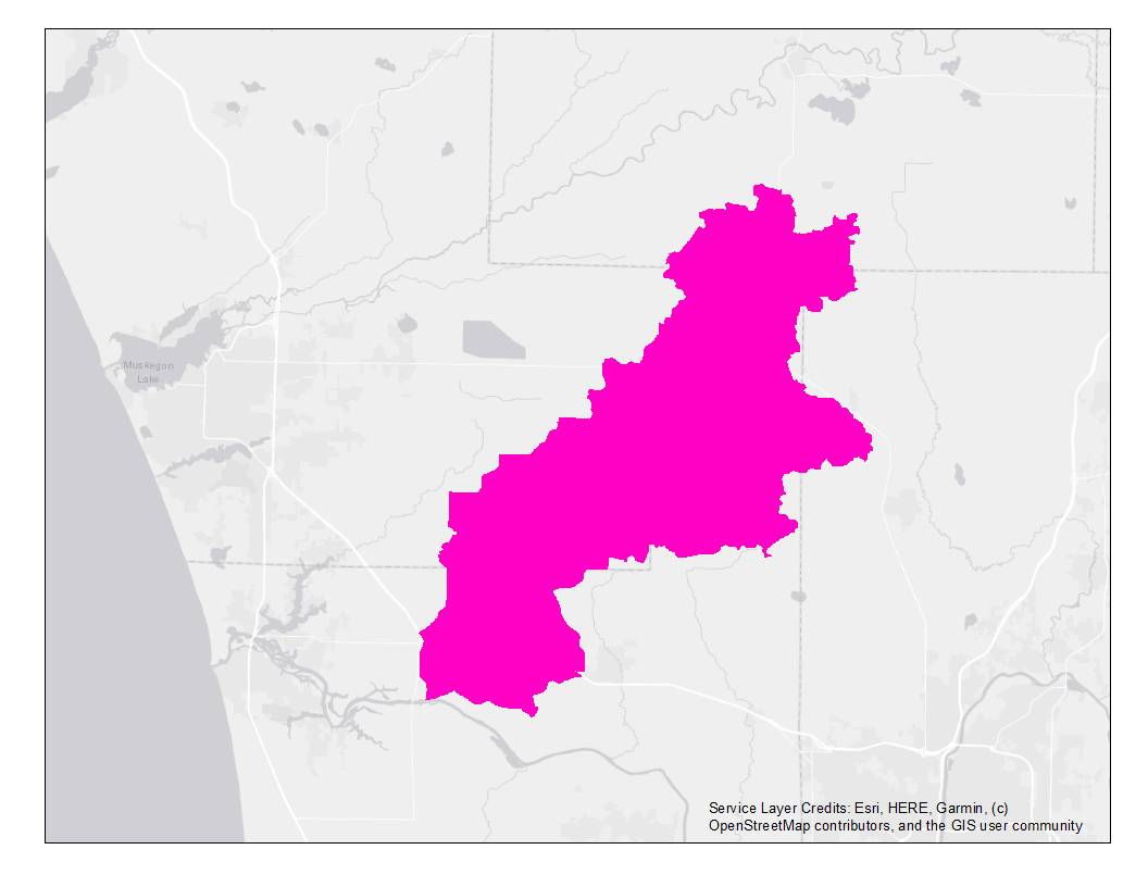
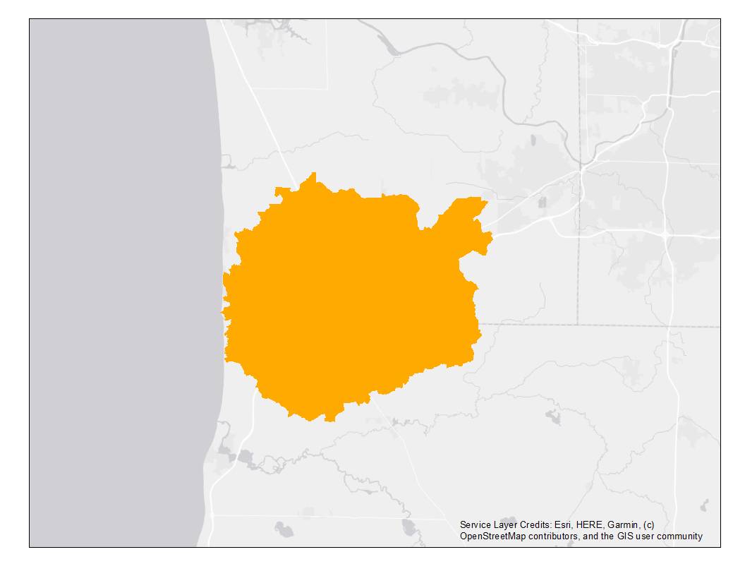
Launched in Summer 2022, this survey gathered input from agricultural landowners and rural residents in the Crockery Creek watershed about their experiences living in the area, managing water on their properties, and documented concerns landowners have about local water quality. This study was conducted for the Ottawa Conservation District and will guide their technical and educational efforts as they administer a grant to support water quality best management practices in the watershed. We took a fun detour to work with the Ravenna HS FFA Rural Tech class. Review our project update, presented at the Ravenna Conservation Club (February 2023) by clicking on the watershed map at right.
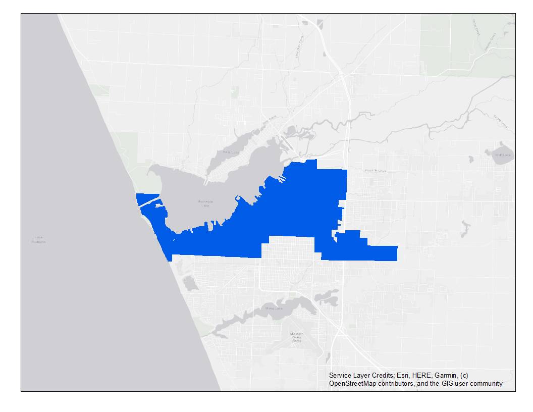
This project evaluates Muskegon residents’ uses of and relationship with Muskegon Lake through a survey of a random sample of residents in the City of Muskegon, Michigan. The purpose of this study is to learn about residents’ preferences for features at public access areas on the lake, assess residents’ perceptions of water quality and knowledge of current restoration efforts, and identify what keeps people from visiting Muskegon Lake or participating in shoreline stewardship activities.
This Student Summer Scholars Project, conducted by Rylie Dorman (BS in Natural Resources Management) uses data from a survey of residents in the White Lake Area to understand how people’s relationship to a lake with an industrial legacy is affected by participation in the Great Lakes Area of Concern (AOC) restoration process. Following delisting of White Lake as an AOC in 2014, this study explores whether people’s relationship with their environment can recover after severe contamination.
This project evaluates knowledge and implementation of best management practices for improving water quality in the Macatawa Watershed through mail surveys of residents living in the watershed. The survey assesses stakeholder attitudes and knowledge about water quality, use of best management practices, and engagement with Project Clarity.
This project assesses knowledge about water quality and sources of pollution among residents in the Pigeon River Watershed. The survey also evaluates use of best management practices for protecting water quality and interest in participating in future cost share programs offered by the Ottawa Conservation District.
Social Science Lab student participates in S3.
GVSU sociologist helps community partners collect social science data