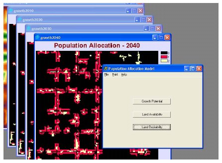
Population Allocation Model (PAM)
Synopsis:
The Population Allocation Model (PAM) uses the patterns of past development to predict the location of future urban growth. While the concept could be used to predict the future distribution of many different land use types, it was created first to model expected landscape changes to result from new residential development. Its original purpose was to help in forecasting environmental impacts from future urban growth.
It has been used to identify critical areas with regard to environmental pollution and other impacts to our natural systems. It has been paired with hydrologic models, impervious surface models, and non-point source pollution models to characterize the expected impacts of future residential growth on near-by lakes and streams as part of a more comprehensive program of Watershed Management.
For more information on the Population Allocation Model, contact:
John K. Koches, Associate Research Scientist Annis Water Resources Institute Lake Michigan Center 740 W Shoreline Dr. Muskegon, MI 49441 E-Mail:
[email protected]
Phone: 231-728-3601 (616) 331-3749 Fax: (616) 331-3864
Click here for a PDF version of the PAM User's Manual
Click here for the Visualization Tools PowerPoint (Part of the FACF Visualization Project)
Click here for a PDF version of the Visualization Tools Atlas (Part of the FACF Visualization Project)