Spotlights
2014 article entitled "Evaluation of forest cover estimates for Haiti using supervised classification of Landsat data"
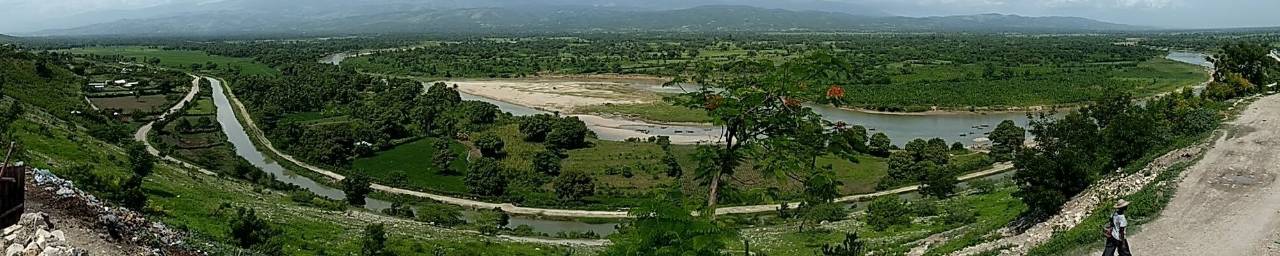
An article using Landsat imagery to map forest cover in Haiti was recently released in the International Journal of Applied Earth Observation and Geoinformation. The article :
- Provides a new forest cover estimate for Haiti using supervised classification of Landsat data.
- Evaluates forest cover estimates for Haiti using several different remote sensing datasets.
- Discusses patchy forest cover in Haiti and the impact on forest estimates.
- Presents a modified technique for satellite image normalization.
- Demonstrates an inverse relationship between image resolution and forest cover area in Haiti.
Share this spotlight
Return to the listing of spotlights.