Events
Getting to the Point: The Geographic Underpinnings of the 2020 Census
Date and Time
Friday, October 5, 2018 2:00 PM - 3:00 PM
Description
LIB 100 approved.
The Census Takes every 10 years, but is not a discreet event happening on a specific day. April 1st 2020 is Census day, but the census is carried out over the course of several months, and is planned over the course of 9 years. There are many components of work that contribute to a successful census and geography is no small part of it. Geographers at the Census Bureau maintain GIS data for all addresses, roads, and statistical jurisdictions in the nation. These data are used to design collection geography (areas developed to divide the work of field workers into manageable parts). Cartographers convert the data into maps that are used for planning and implementation of the census enumeration. After the census has been taken, the data have to be tabulated. GIS data are used again to determine tabulation areas. Topological relationships carefully curated year after year are used to quickly connect each address to a tabulation block and then each tabulation block to higher level geographic areas (such as Tracts, Cities, Counties, etc.). When tabulation is completed Census geographers produce public products (Tiger Line Shapefiles) to give legislators, researcher, and local governments the components they need to make full use of the Census results.
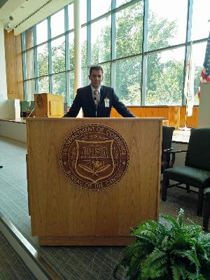
Patrick Jurgens is the Geography and Sustainable Planning Distinguished Alumni In Residence. Patrick Jurgens completed a Geography Degree at Grand Valley State University (GVSU) in 2007. Shortly thereafter, he moved to Washington D.C. to work for a contracting firm on GIS projects for the Census Bureau. In 2009 he was hired into the Geography Division at the Census Bureau where he contributed to the successful implementation of the 2010 Decennial Census. Patrick now leads a team of geographers at the Census who dedicate their efforts to the production scale quality control and quality assurance of the MAF/TIGER database and its public products. Patrick lives with his wife and two children near Richmond, VA.
Contact
Geography and Sustainable Planning
MAK B-4-105
616-331-3065