Upper Central Muskegon River Watershed
Portions of Wexford, Missaukee, and Osceola counties lie within the Muskegon River Watershed and together drain 1,020 sq. miles of land. This area has been identified as a priority for the implementation of watershed management practices by the Cadillac Area Land Conservancy, Grand Valley State University - Annis Water Resources Institute (GVSU-AWRI), and the Conservation Districts of Wexford, Missaukee, and Osceola Counties. Some of the questions yet to be answered include, where is it best to install these practices, where do we implement conservation easements that will best protect critical green infrastructure, and where do we include controls to protect water quality? To help us answer these questions we proposed a "Critical Lands Mapping Project" that was funded by the Ice Mountain Environmental Stewardship Fund which is administered by the Fremont Area Community Foundation. The project began in January 2014 and is expected to conclude to March 2015. This project has as its intent to improve and protect the water quality in the Upper-Central portions of the Muskegon River Watershed.
The overall project goal will be to identify potential conservation areas (PCA's), and map their locations within an associated map atlas. This will be used to determine and document where high priority natural and agricultural lands are located within the Upper-Central Muskegon River Watershed (defined as the 1,020 square miles of watershed within the counties of Wexford, Missaukee and Osceola).
The Critical Lands Mapping Project will identify, rate, and rank locations within the Upper-Central portions of the Muskegon River Watershed so that our partnering organizations can focus their conservation activities where the need is greatest. The assessment process will utilize criteria such as the size of natural land patches and their connectivity to the surrounding landscape. We will also assign priority to areas containing a riparian corridor, a cold water tributary, or a wetland. The process began with the establishment of landscape criteria that take advantage of existing geographic datasets using current geographic information systems (GIS) for analysis. The final results will be presented in a series of maps put into an atlas for use by our partnering organizations.
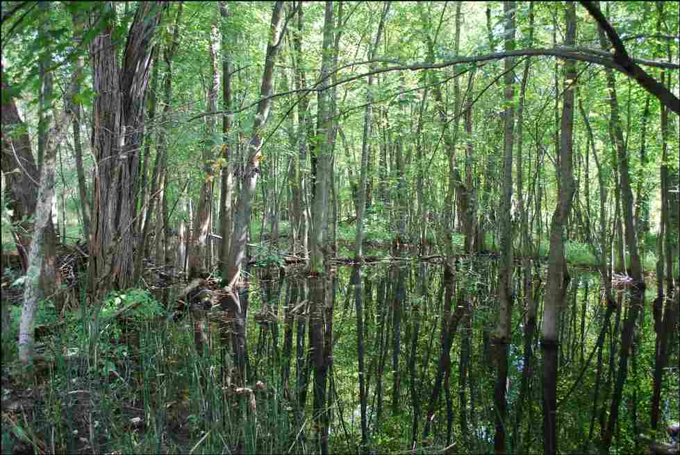
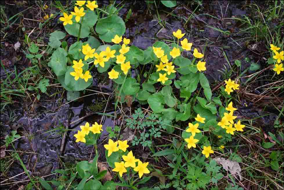
The protection of high priority natural lands and the proper management of existing agricultural areas are considered essential to the sustainability of the Muskegon River and its watershed. Of particular importance is the identification of PCA’s that would protect water quality, stabilize hydrologic flows, and provide extensive habitat for plants and animals.
Objectives:
1) Organize a Steering Committee to guide the project
2) Develop a rating/scoring system that will allow the prioritization of our PCA's
3) Develop the required GIS database of needed information
4) Prepare the final Atlas product